How surveyors learned the sea was not level.
Standing on a beach, the horizon stretches unbroken into the distance. Rivers flow downhill towards the sea and we quote the heights of our mountains above sea level. It seems an obvious and natural starting point from which every height can be referred, and two centuries ago, the Royal Engineers and Sappers of the Irish Ordnance Survey thought so too. Yet, when they began measuring Ireland, they encountered an unexpected problem. Their measurements around the Irish coast did not agree: the sea appeared to be at different levels in different places. What had begun as an intuitive solution to a practical problem of surveying had become a scientific mystery that had to be solved before the hills could be surveyed.
At first, the answer appeared straightforward. The lowest point the tide reached when it went out was used as the reference. In that way, every height marked on the map was positive. From low water at nearby coastal locations the surveyors observed vertical angles to the tops of hills and mountains. Heights could then be calculated using trigonometry and added to the earliest six-inch maps, extending the survey into the third dimension.
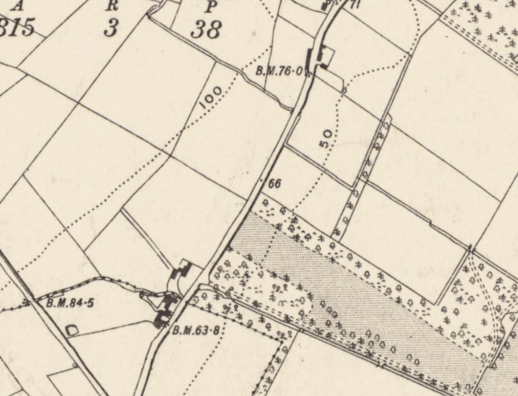
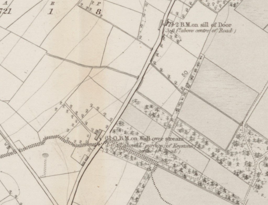
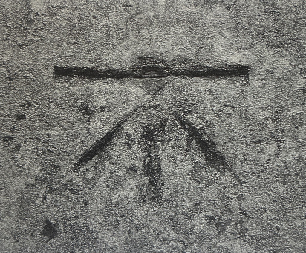
The sappers would eventually carve thousands of what became known as crow’s feet, into churches, bridges, gateposts and stone walls. Each marked a point whose height had been carefully measured above sea level and they became the foundation of Ireland’s national height network. And yet before a single benchmark could be cut, the surveyors first had to answer a deceptively simple question: Where exactly was sea level?
For a time, there seemed to be little reason to question their initial assumptions. But as the work spread from county to county and neighbouring surveys were connected, inconsistencies began to appear. Heights calculated from one part of the coast did not always agree with those calculated from another. Sometimes the differences amounted to several feet. They were not large enough to undermine the maps, but they were too large to ignore.
So, like good surveyors before and since, they measured again. This time, rather than relying on isolated coastal observations, they connected stations across Ireland from coast to coast, comparing one line of observations with another. The results became more consistent, yet the discrepancies never disappeared entirely. The more carefully they measured, the more persistent the problem became. Before long, they realised that the difficulty was not with their observations; it lay in the reference level from which every height was being surveyed.
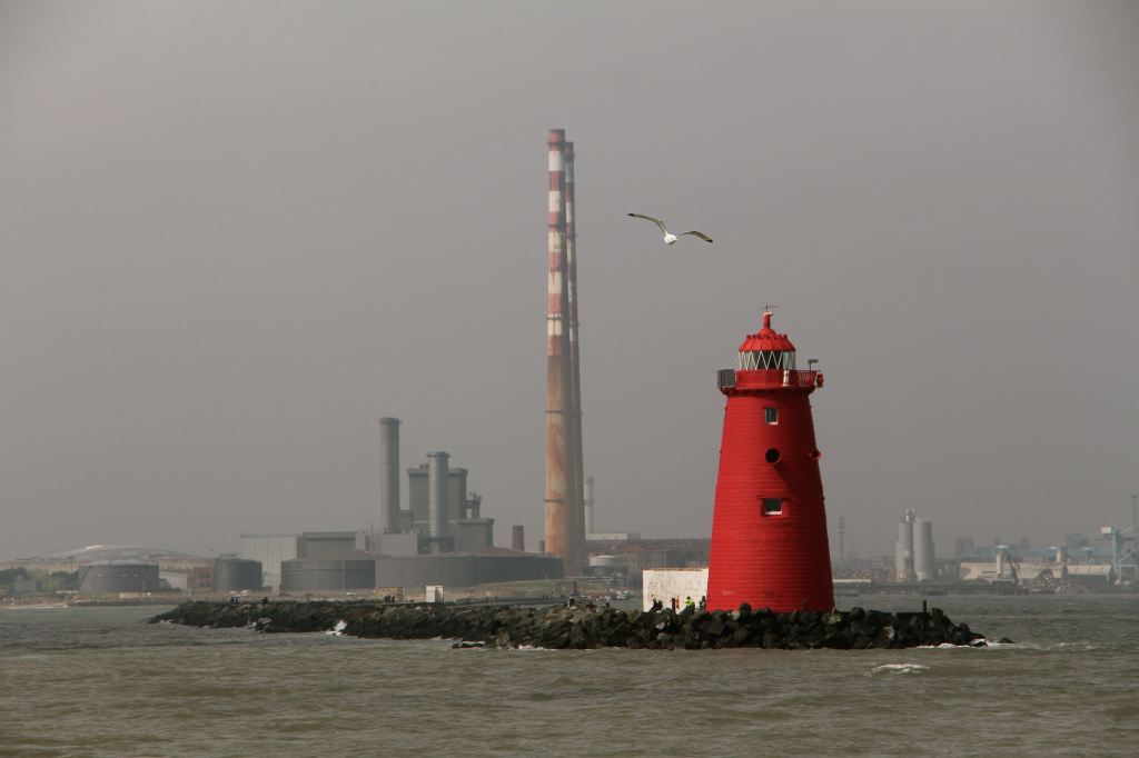
To bring order to the growing network they adopted a single national datum at Poolbeg Lighthouse. Here, a fixed mark became the common reference from which all heights throughout Ireland would be determined. Every measurement would now be connected, directly or indirectly, to that single point. It brought consistency to the survey, but it did not remove the need for greater precision, nor did it provide a solution to the scientific mystery.
By then the demands placed upon the survey had begun to change. Roads, canals and, increasingly, the planned railway network required gradients that could be trusted over many miles. Errors that might scarcely be noticed on a topographical map could become serious obstacles to engineering works. Trigonometric heights, ingenious though they were, had reached the limits of accuracy and a different method was needed-—a few feet of error could no longer remain in the map room; it mattered on the ground.
Before long, those travelling on Irish roads encountered a curious procession. Among the horse-drawn carts, droves of cattle and the occasional stagecoach, a soldier peered through a telescope mounted on a tripod, standing under an umbrella. Ahead stood a man holding a tall wooden staff with numbers marked on its face. Behind came another man with a similar staff. They would stop, take a reading forward, then a reading behind, move forward, and repeat the process. Day after day, mile after mile, they worked their way across the country. Sometimes they went out and back the same way. Other times, they went around in a large loop, returning to their starting point.
This was spirit levelling. Between 1839 and 1843, Lieutenant John Cameron and Lieutenant G. B. Downes carried it along more than two thousand miles of Irish roads. By comparing one observation with the next, and then checking the entire line by repeated measurement, they created something new: a continuous, fully connected framework of heights extending across the whole country.
As they progressed, they left behind benchmarks, many of which still survive today. They became known as Crow’s feet, cut into bridges, churches, gateposts and walls, fixing the national height network permanently into the landscape. Every benchmark became part of a single connected system that future surveyors could recover simply by placing a levelling staff upon the mark.
Even before that remarkable achievement was completed the mystery deepened. The newly levelled network was connected to the coastal points, and when every height was calculated from the sea, they realised the sea itself did not behave as a level surface.
The question drew Thomas Colby into a wider scientific investigation. Working with the Astronomer Royal, George Airy, he organised an extensive programme of tidal observations around the coast of Ireland. The observations confirmed that tides varied greatly from place to place and that the apparently simple idea of “sea level” concealed a surprising degree of complexity. The surveyors had begun with what seemed the most obvious of assumptions, but by the time they had finished, they understood it was not so straightforward.
Ireland had nevertheless acquired something extraordinary. For the first time, the country possessed a coherent national framework of heights, supported by precise levelling, permanent benchmarks and a common reference datum. The landscape could now be mapped not only across its surface but through its vertical dimension. What had seemed obvious while standing on a beach proved to require years of observation, measurement and analysis before it could be understood with confidence.
They now knew how high the land stood, but it was only part of the story. The next challenge lay in showing its shape. That solution would emerge in Donegal, where experiments with contours began to reveal not merely where the land lay and how high it was, but its shape too.
There follows an Appendix for those readers interested in the technical and historical development of Ireland’s first national vertical datum.
Footnotes
Header Image of Poolbeg Lighthouse at the mouth of the Liffey: copyright the author.
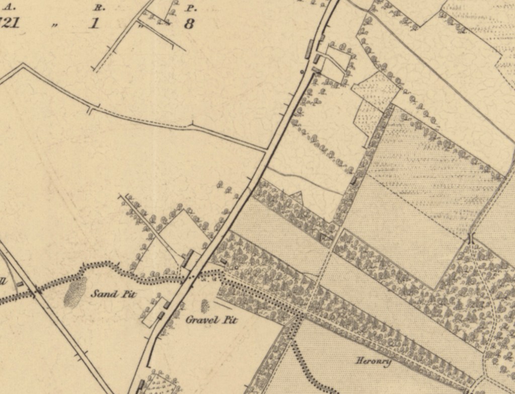
Maps images courtesy of the National Library of Scotland. Reuse by CC_BY (NLS). See https://maps.nls.uk/
By subscribing, you will be notified of new posts.
