-
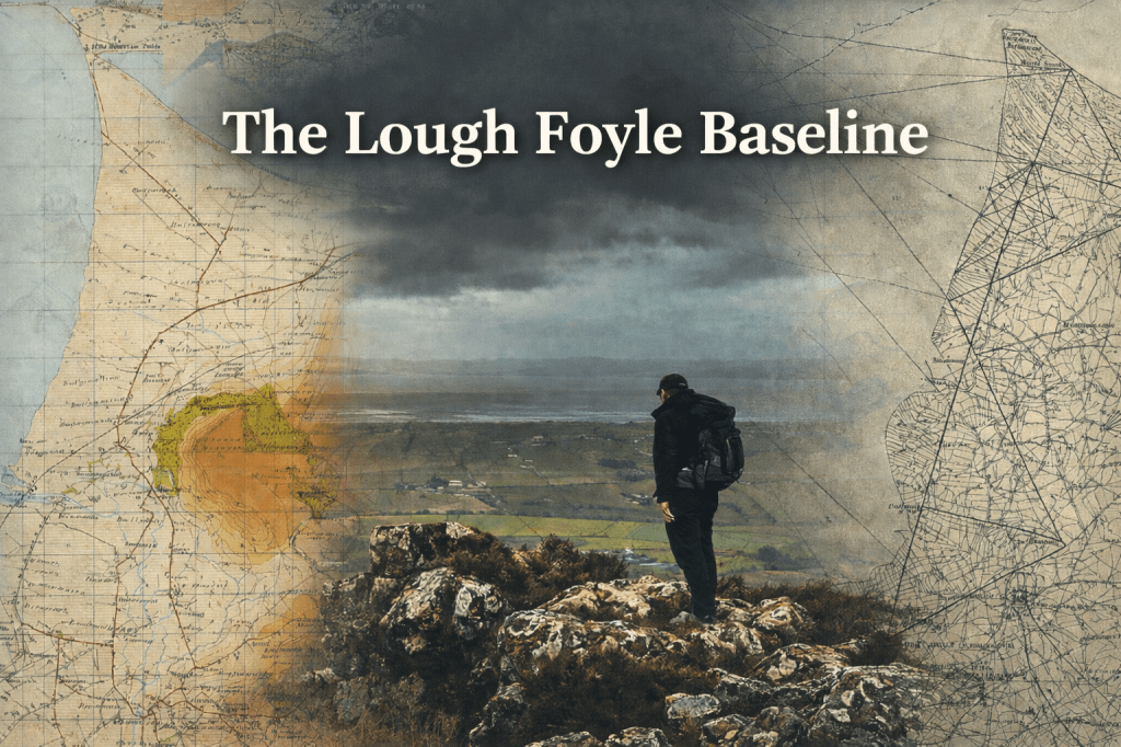
12. The Lough Foyle Baseline
It started with a measured line on the ground, “on which the credit of the whole…
-
11. Accuracy Once Lost Cannot Be Recovered
Why Colby’s System Still Matters. When Thomas Colby directed the Ordnance Survey in the nineteenth century,…
-
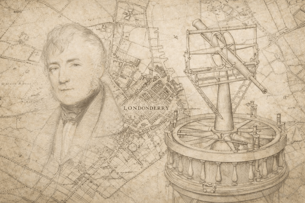
10. Colby’s System
Colby devised a system of working for the Irish Survey that prioritised quality and accuracy over…
-
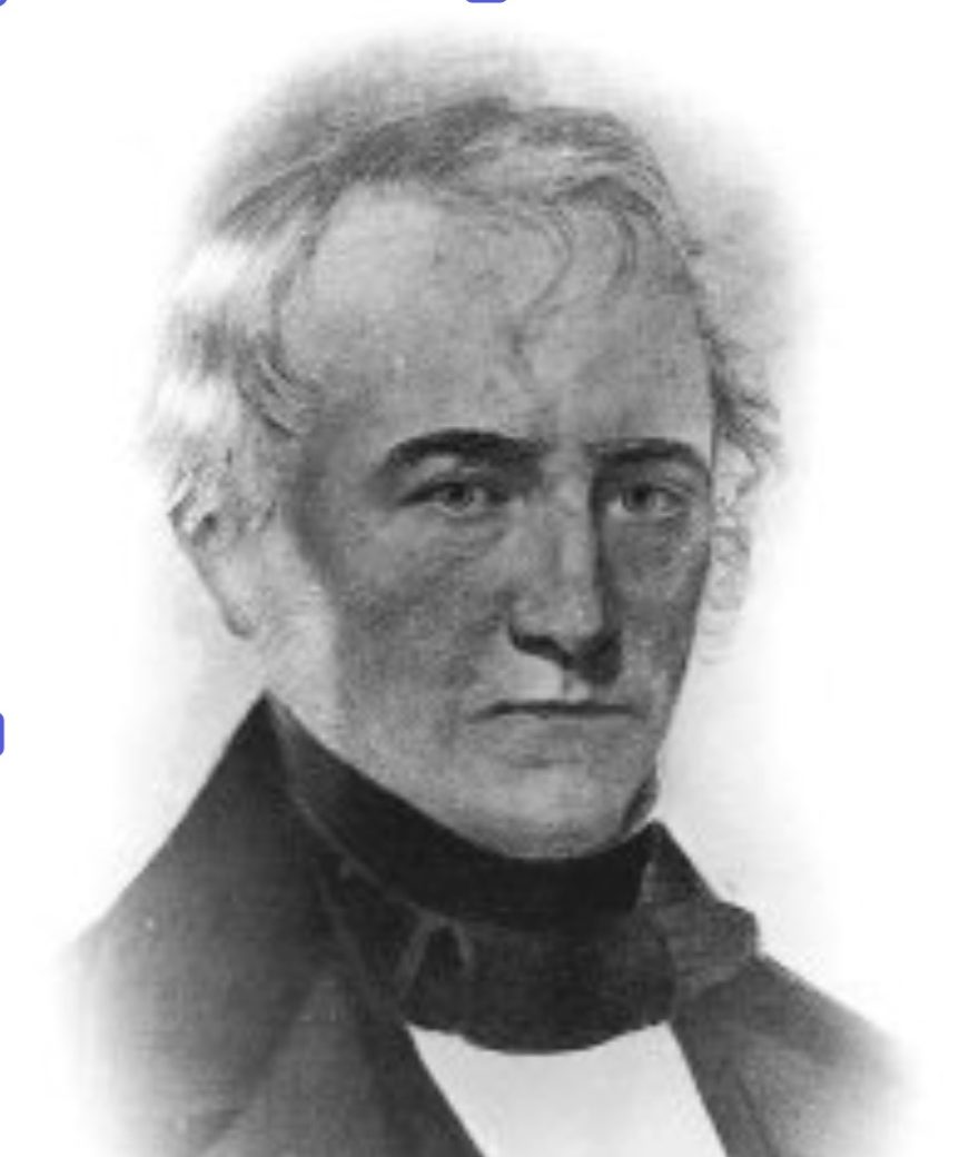
9. Thomas Colby
The surveyor whose drive, determination and insistence on accuracy left a durable and long-lasting mark on…
-
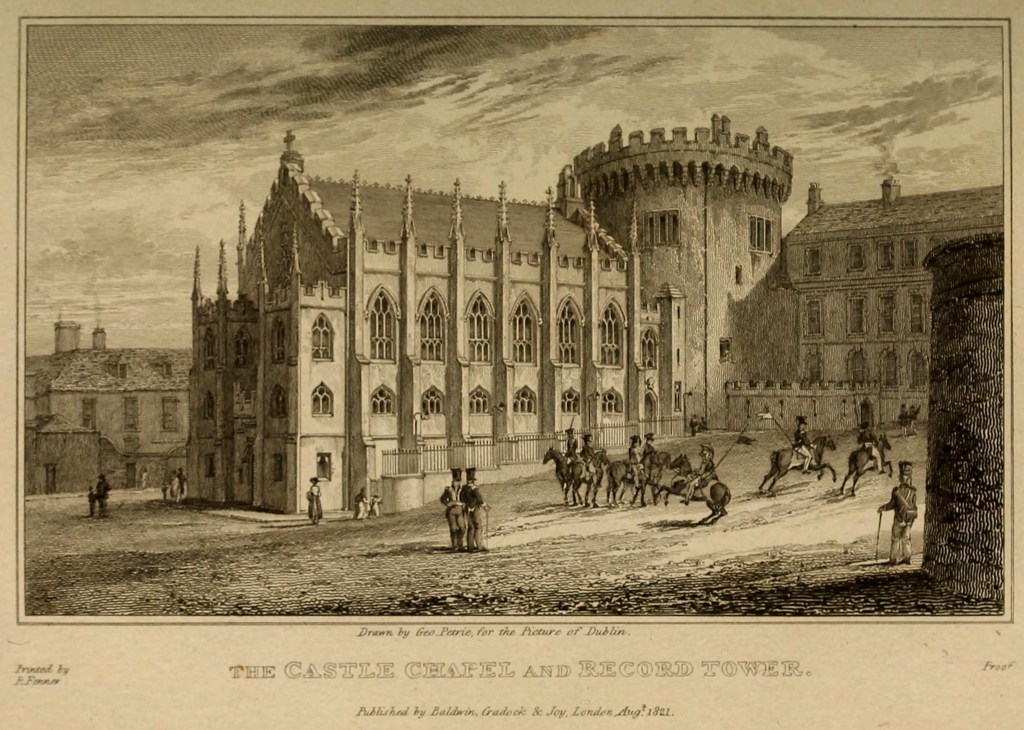
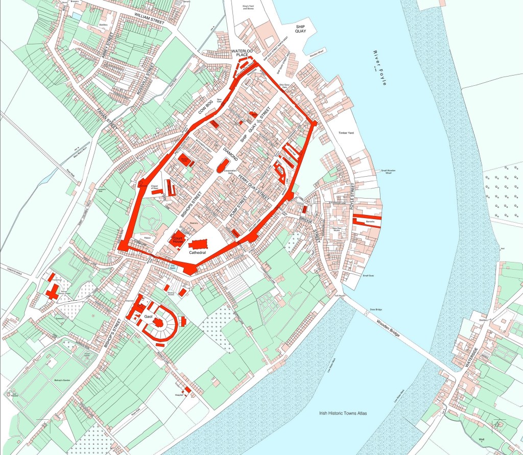
8. A Complete Map
The origin of the Ordnance Survey in Ireland.
-
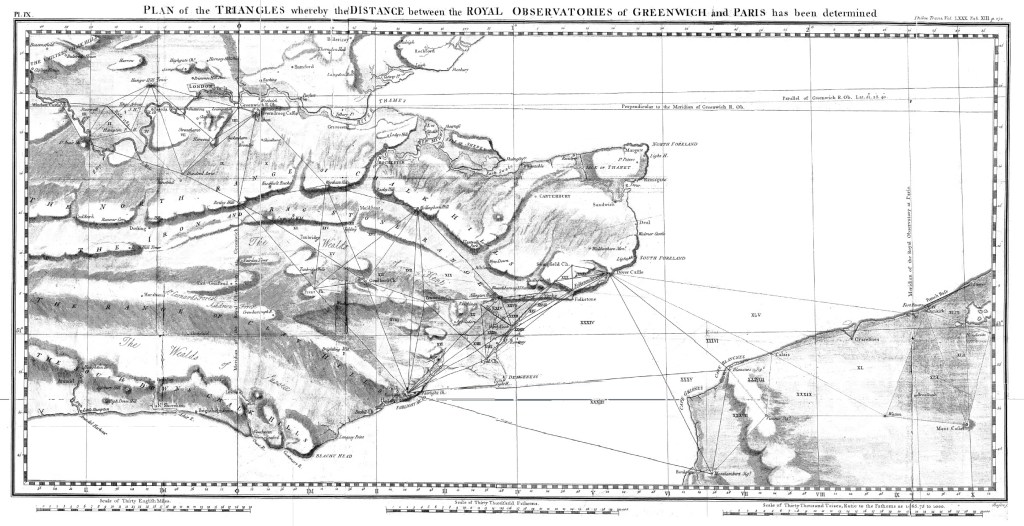
7. “La différence”
Paris and Greenwich, science and rivalry, and the measurement of position. The Great Trigonometric Survey of…
-
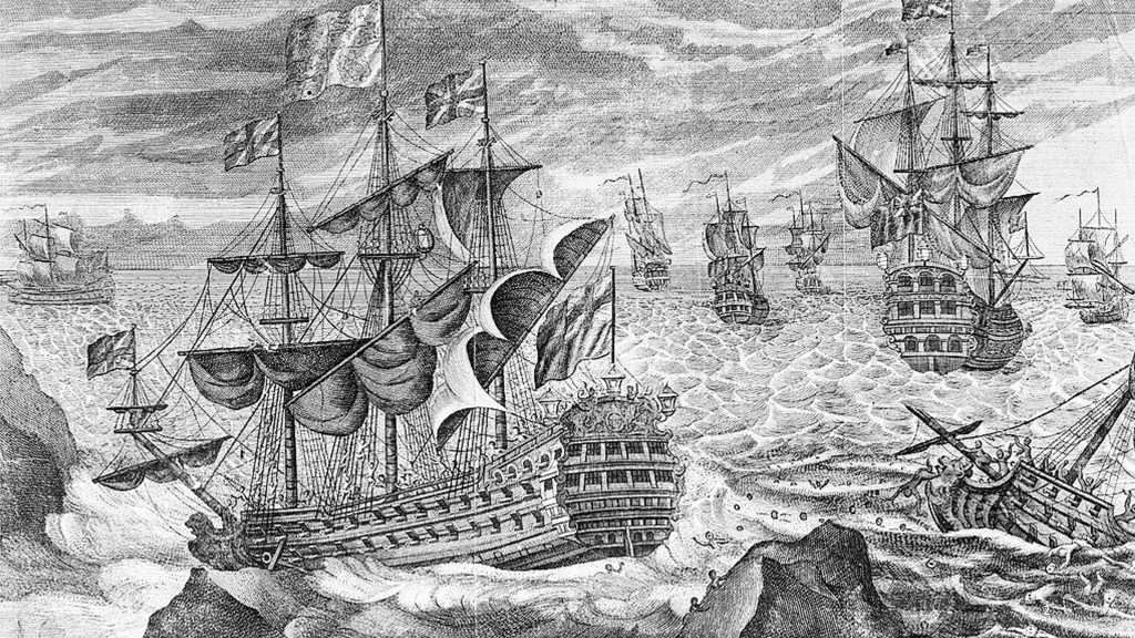
6. The Isles of Scilly
Longitude, navigation, and the consequences of being in the wrong place. “Farewell and Adieu to You,…
-
5. Navigation, Napoleon, and “Normalisation”
The arrival of the Ordnance Survey in Ireland against a broader political, military, and administrative background.…
-
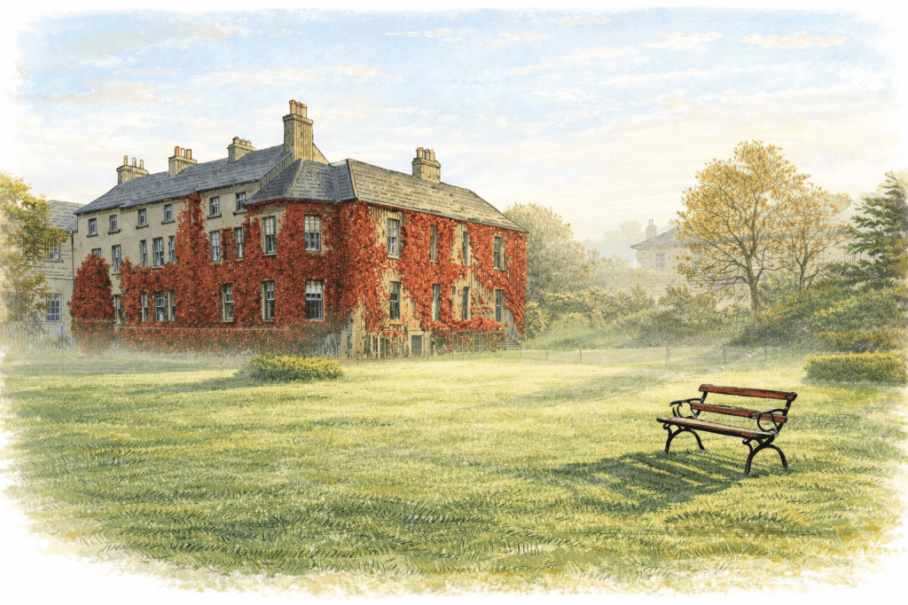
4. Inside Mountjoy House
Crossing the Threshold: An Ambition for Change in the Survey. The front of the big house…
-
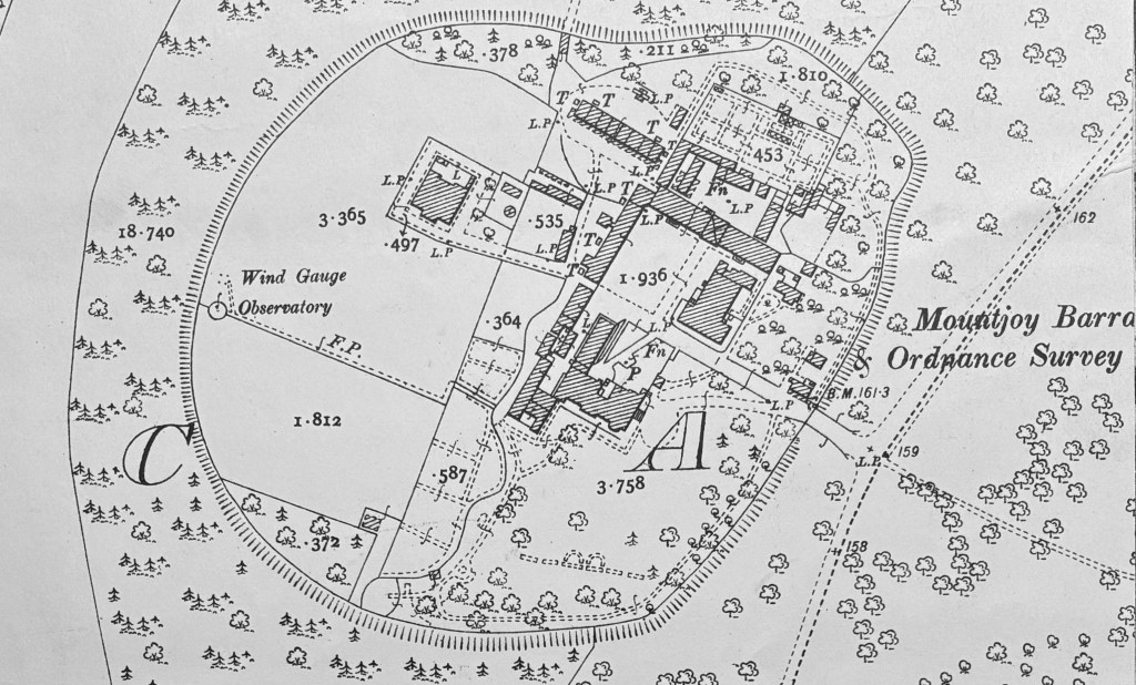
3. Where the Gas Lamps End
Echoes of the past – “where the technically minded visitor discovered an outpost of an earlier…
