Over the past five years, I have been researching the history of the Ordnance Survey in Ireland since 1922 — its people, its practices, and its role. From Limelight to Satellite is the result of this research, carried out at the national archives in Dublin, London, and Belfast, as well as at the Military Archives in Dublin and Ordnance Survey Ireland’s archives in Phoenix Park. My research has been enriched by personal interviews and the narratives of those directly involved in this remarkable journey.
It was originally intended to be a book. Finding a traditional route to publication has proved challenging, so I chose a different approach. Rather than waiting for a finished book, I decided to publish the work in smaller, self-contained chapters and posts as a blog. This allows the research and the story to be shared openly, read gradually, and refined over time.
Each post explores a specific theme, episode, or question, but together they form part of a larger, evolving narrative. The intention is that, over time, these chapters will build into a more substantial body of work — one that may eventually become a conventional book.
This site is therefore both an archive and a work in progress: a place to share knowledge, test ideas, and contribute to the wider conversation about Ireland’s surveying and mapping history.
The project is independently run; voluntary donations help with site administration and contribute towards future publication. See here.
About the Author
A love for maps and adventure drove Mick Cory to become a land surveyor, mapping the world from Liberia’s jungles to Malawi, the heart of Africa, from the wilds of Dorset to the mountains and deserts of Yemen. He embraced evolving technology, earning a master’s degree in land information systems. Relocating to Ireland, he became the first civilian professional surveyor to work in all three Ordnance Surveys. He played pivotal roles in Dublin and later Belfast, helping to modernise surveying and mapping at the Ordnance Surveys north and south of the border, steering them into the digital era.
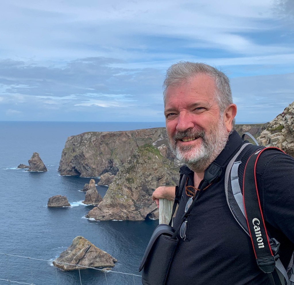
His commitment to public service led him into Northern Ireland’s civil service, working with the newly appointed Ministers as the Good Friday / Belfast Agreement settled into devolved Government. He oversaw policy and government funding for Sports, Museums, Libraries, and Inland Fisheries, and led several high-profile national and international sports and cultural events. In this role, he engaged in community development and global representation, notably for the 2012 Olympics. A move to Brussels followed, where, as Secretary General of the European Association of National Mapping Agencies, he fostered international collaboration, advising bodies like the UN and the EU.
A lifelong learner, Mick is a Fulbright scholar and former Chartered Surveyor and Director. Now retired and living in Bangor, County Down, he continues his passion for maps, writing, and exploring his family’s diverse Irish, Spanish and Basque heritage.
