Why Colby’s System Still Matters.
When Thomas Colby directed the Ordnance Survey in the nineteenth century, he was not primarily concerned with speed. He was concerned with quality.
He worked from the whole to the part. Baselines were measured at Lough Foyle with ultimate scientific precision using compensation bars. Principal triangles were observed with large, precisely engineered theodolites. Field books and methods were standardised and constrained to chains rather than traverses. Drafting was separated from fieldwork, and no surveyor plotted his own observations. Every stage was independently checked. This was not bureaucratic pedantry, it was a system carefully designed to minimise the potential for error. Accuracy, Colby understood, is not a technical by-product but an organisational imperative, a conscious decision, that has to underpin an organisation’s values. Only then can it be considered an institutional achievement.
This remains true in the digital era. Today, we might operate with GNSS rather than chains, using satellites rather than signals, antennae rather than heliographs or lamps. We might store our data in cloud databases rather than leather-bound field books or on paper maps. Yet in our modern era, in which things happen at speed, the underlying risk of error is amplified, not reduced. In fact, it can be critically amplified. Automated pipelines can ingest data at scale, and AI can analyse features in seconds, and produce misleading conclusions. We are rightly concerned that AI removes our critical faculties. Consequently, errors can propagate and multiply instantly across networks.
Without the wider constraint imposed by customs, rules and standards, an imbalance is created between freedom and security. In this case, freedom of action and security of result. Within this context, Colby’s principles look contemporary:
- Separation of function
- Independent verification
- Traceability and accountability
- Centralised oversight
- Standardised procedures
Today’s modern equivalents exist in metadata standards, audit trails, ISO quality frameworks, and enterprise GIS governance. But they must rest on the same insight and fundamental principles that quality must be embedded in the structure of what we do, not just written down, but explicitly enforced in our day-to-day work.
In the nineteenth century, Colby did not merely produce maps. He created a controlled information system capable of sustaining government administration. The mapping that he oversaw underpinned taxation, infrastructure, defence, and land reform. Measurement was governance.
That remains the case. National grids, coordinate reference systems, cadastral databases and digital twins now sit beneath planning systems, emergency response, environmental monitoring and financial valuation. They are part of a wider geographic information system envisaged at the start of the digital era, and even predicted by Colby (albeit in analogue form). Maps and their underpinning infrastructure have become a quiet but essential part of our modern world. If the spatial framework fails, institutional trust weakens with it.
Colby’s maxim was simple: Accuracy once lost cannot be recovered. It is a maxim that applies equally to Trust.
Times have changed. The instruments have changed. The coordinates have changed. The storage medium has changed. The problem has not.
Notes:
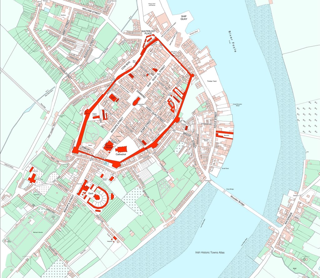
- The image at the header is of Derry-Londonderry in 1831. Source: Map 2, Derry~Londonderry, circa 1831. In Avril Thomas, Irish Historic Towns Atlas, no. 15, Derry~Londonderry. Royal Irish Academy, Dublin, 2005 (www.ihta.ie, accessed 21 February 2026).
- John Andrews’ book “A Paper Landscape” contains in Appendix B, Colby’s Instructions for the Interior Survey of Ireland, 1825. The original “Blue Book” is now in the National Archives, Dublin. NAI, OS/13/1.
By subscribing, you will be notified of new posts.
