The ghosts of Mountjoy and my arrival in the Phoenix Park.
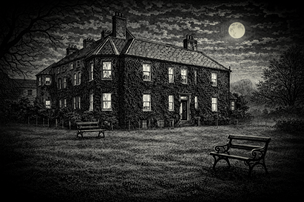
I turned off the light, and the floorboards creaked as I hurried across the green carpeted hallway past two marble busts glowing ghostly white in the moonlight. Their disembodied heads appeared to float in the windows on either side of the large, heavy wooden door that swung inward as I stepped out into the cool night. There was the smell of damp leaves in the air. The trees cast moonlit shadows on the ground, and looking back, I could see the marble busts glowing eerily in the windows. Captain Thomas Drummond and Major-General Sir Thomas Larcom, giants of nineteenth-century Ireland, peered out onto the moonlit Phoenix Park through the windows and through the mists of time, daring those who followed to live up to their legacy.
Drummond had worked on the Trigonometrical Survey of Ireland, famous in the folklore of the Ordnance Survey in Ireland for using limelight as a signal to distant mountain tops. He later became Under-Secretary of Ireland from 1835 to 1840. Larcom was the Officer-in-Charge at Mountjoy House from 1826 to 1846 under Thomas Colby, the man responsible for the Survey of Ireland. Larcom went on to become Poor Law Commissioner, Census Commissioner and then Under-Secretary of Ireland from 1853 to 1868.
I tried not to think of them too much, or of the ghost that was said to climb the stairs from the basement below the hallway to wander the grounds of Mountjoy. The hairs on the back of my neck bristled and the sense of history was palpable.
*****
The significance of my appointment to Ordnance Survey in Dublin was not immediately apparent to me. I realised later that I was the first wholly civilian, non-military, senior manager to be appointed there. This significance was equalled by my being the first person to have worked at the Ordnance Surveys in Southampton and Dublin since the independence of Ireland and the foundation of the State in 1922. Such an appointment was unprecedented and indicated the organisation’s ambition for change. But despite its ambition, it still exuded an atmosphere of times gone by, a place “where the technically minded visitor discovered an outpost of an earlier cartographic culture”.[1] The stone walls, set in the furthest corner of the Phoenix Park at the edge of Dublin city centre, retain this aura today, its dusty stores and drawers of maps give an impression of craftsmen drawing maps with quill pens in monastic calm.
*****
The marble busts in the front hall of Mountjoy House were a reminder of the past. Drummond and Larcom, along with the man in charge, Thomas Colby, all Royal Engineers, were the founding fathers of the Ordnance Survey in Ireland. They had set the standard to be met, if not exceeded, and had left an Imperial legacy of a detailed paper map of Ireland and a sense of pride and importance. The modern-day cartographer stuck almost religiously to how things were done, evidence of a system first introduced by Colby when he established the Survey in Ireland in the early nineteenth century. The weight of history was taken seriously, and any interference was not taken lightly.
Change in this two-hundred-year-old institution had been slow and challenging. Yet, after seventy years of stagnation, a transformation was underway when I arrived. Breaking out from the stone walls of the past was a revolution driven by computers and satellites, a world of digital maps and imagery. The old print room now housed computers kept in air-conditioned comfort, humming away with spinning disks and tapes winding, evidence of a technological transformation still hidden behind the traditional. It would soon be enhanced and broadened by a management revolution, financed and encouraged by the so-called Celtic Tiger economy. The Survey was changing rapidly. It was an exciting time to arrive and I wondered how it had got to this point in time.
[1] “A Paper Landscape – The Ordnance Survey in Nineteenth-Century Ireland”, J H Andrews, Oxford At The Clarendon Press, 1975.
By subscribing, you will be notified of new posts.
